


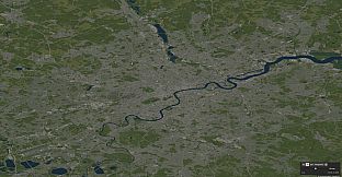
MapCity United Kingdom is a strategy and simulation title that functions as a creative map sandbox. Players work directly with detailed geographic data to shape roads, structures, and terrain across the United Kingdom. The experience draws from OpenStreetMap information, allowing users to explore and modify real-world layouts at varying levels of coverage and detail depending on the chosen location.
Gameplay
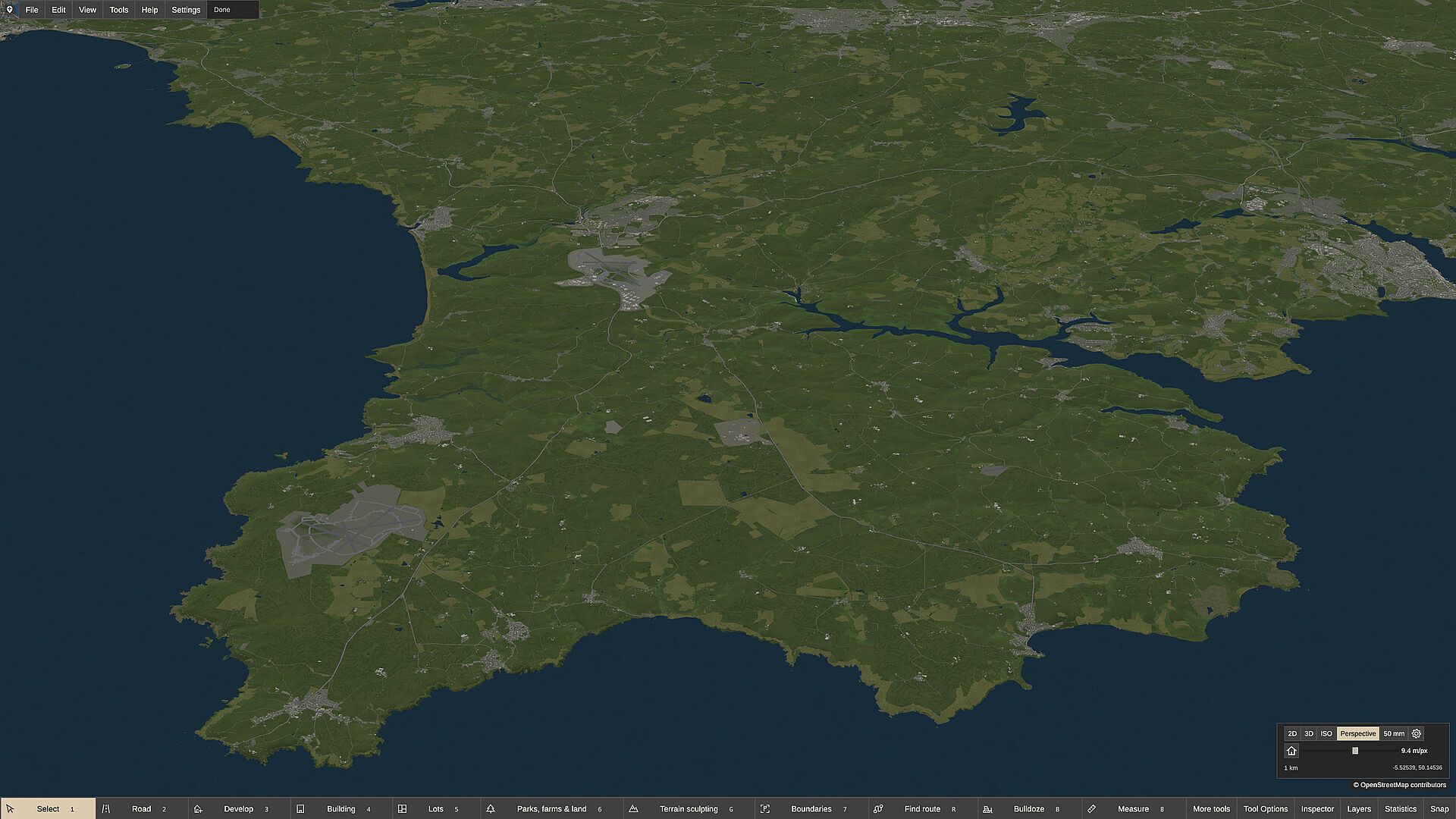
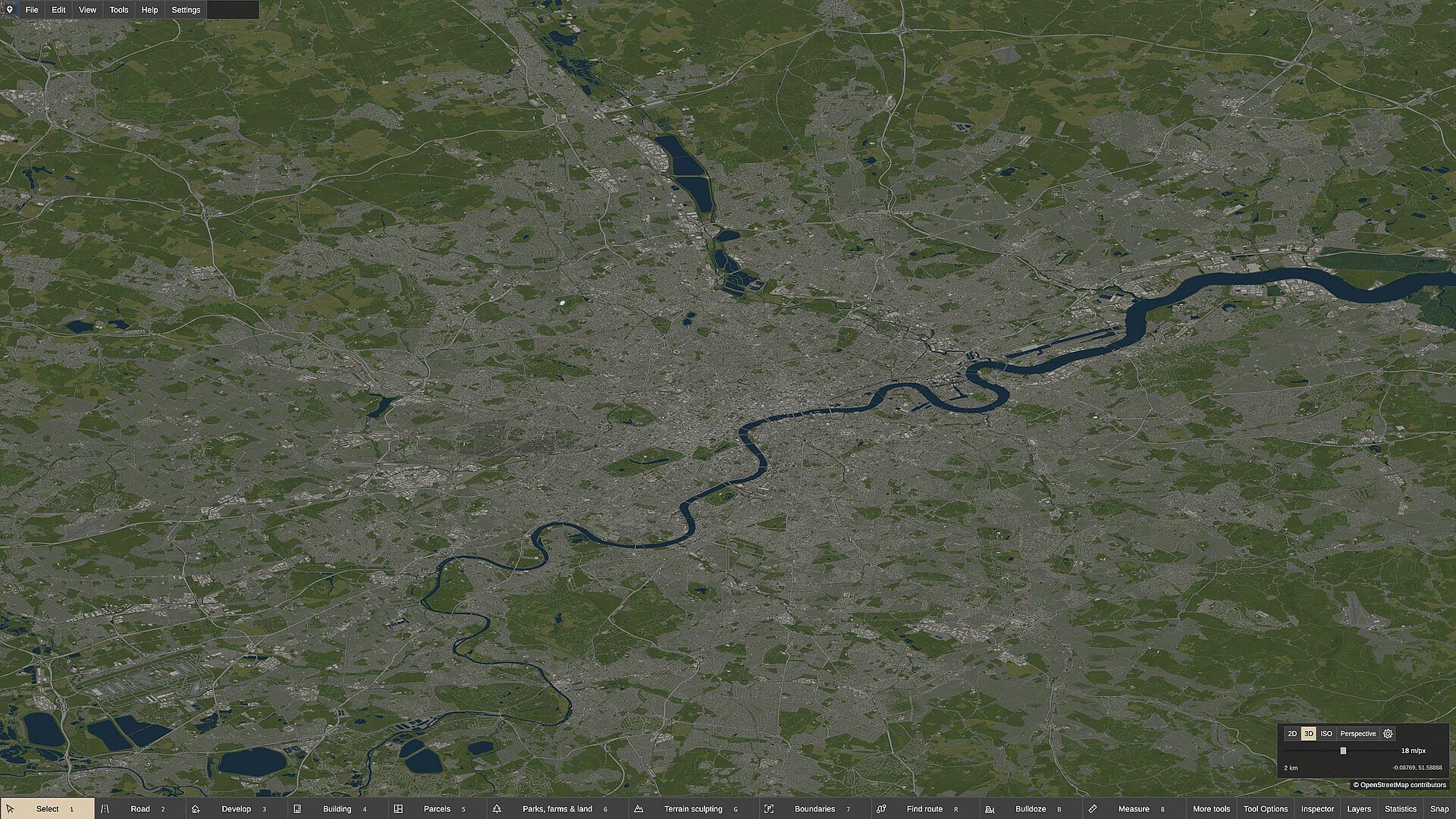
The core loop centers on manual editing and creation tools within a large-scale map environment. Users draw road networks that support curves, snapping, and precise angle controls to form grids, shoreline routes, or organic patterns. Building placement occurs individually or through area-based development functions that generate parcels and structures alongside existing streets. Land features, water bodies, and boundaries receive direct adjustments, with options to reshape or reposition elements at any time. Layers and themes control visual presentation, while draw order helps organize complex scenes from single blocks to regional views. The United Kingdom map data serves as an optional starting point, though the base experience supports blank maps for fully original designs. Storage demands reach approximately 19.5 GB for the download and 29.4 GB once installed, reflecting the scale of geographic information involved.
Game Modes
MapCity United Kingdom operates entirely as a single creative sandbox without separate named modes or competitive structures. All activity revolves around editing sessions on either blank canvases or imported real-world data sets. Players switch between detailed local work and broader regional planning within the same continuous workspace. Development tools allow rapid generation of neighborhoods, parks, farms, or other land uses, while manual overrides support fine-tuning. The absence of economy or population simulation keeps focus on layout and visual construction rather than management systems.
Map Data and Tools
Real-world coverage comes from OpenStreetMap contributors, with detail levels that differ by region inside the United Kingdom. Import processes support selective loading of roads, railways, buildings, land, water, and optional terrain. Recent refinements have improved stability, reduced memory use, and added features such as styled roofs and walls on custom elements. Copy, cut, and paste functions, along with live previews and measurements, streamline larger projects. The experience remains in active development, with updates addressing import performance and tool consistency.
Is It Worth Playing?
MapCity United Kingdom suits players who enjoy hands-on map creation and city layout work without simulation layers. Early Access feedback shows an 82 percent positive rating across dozens of reviews, with users noting intuitive tools and smooth performance on modest hardware when zoomed appropriately. The free optional United Kingdom map data expands possibilities for those interested in recognizable locations, though large file sizes require adequate storage. Ongoing patches continue to refine the workflow, making it a solid choice for creative sandbox enthusiasts who value direct control over roads, buildings, and land features. Those seeking traditional city management mechanics may find the current scope limited, while map-focused creators gain a dedicated editing environment that supports both small neighborhoods and wider regional connections.